Ever wish you could try out our higher-tier features without upgrading?
For a limited time, Starter plan customers can access several Essential and Premium features at no additional cost.
From now until November 3, you can try out tools from Essential and Premium plans, like Dynamic Procedures, and georeferenced plates and airport diagrams. These features are designed to take some of the stress out of flying, whether you're reviewing an approach or taxiing at an unfamiliar airport.
"We set this trial up because we want every pilot to get a feel for what’s possible beyond the Starter plan. It’s a chance to try the tools that can help you stay more aware and confident in the air and on the ground.” said Cole Crawford, Group Product Manager for General Aviation.
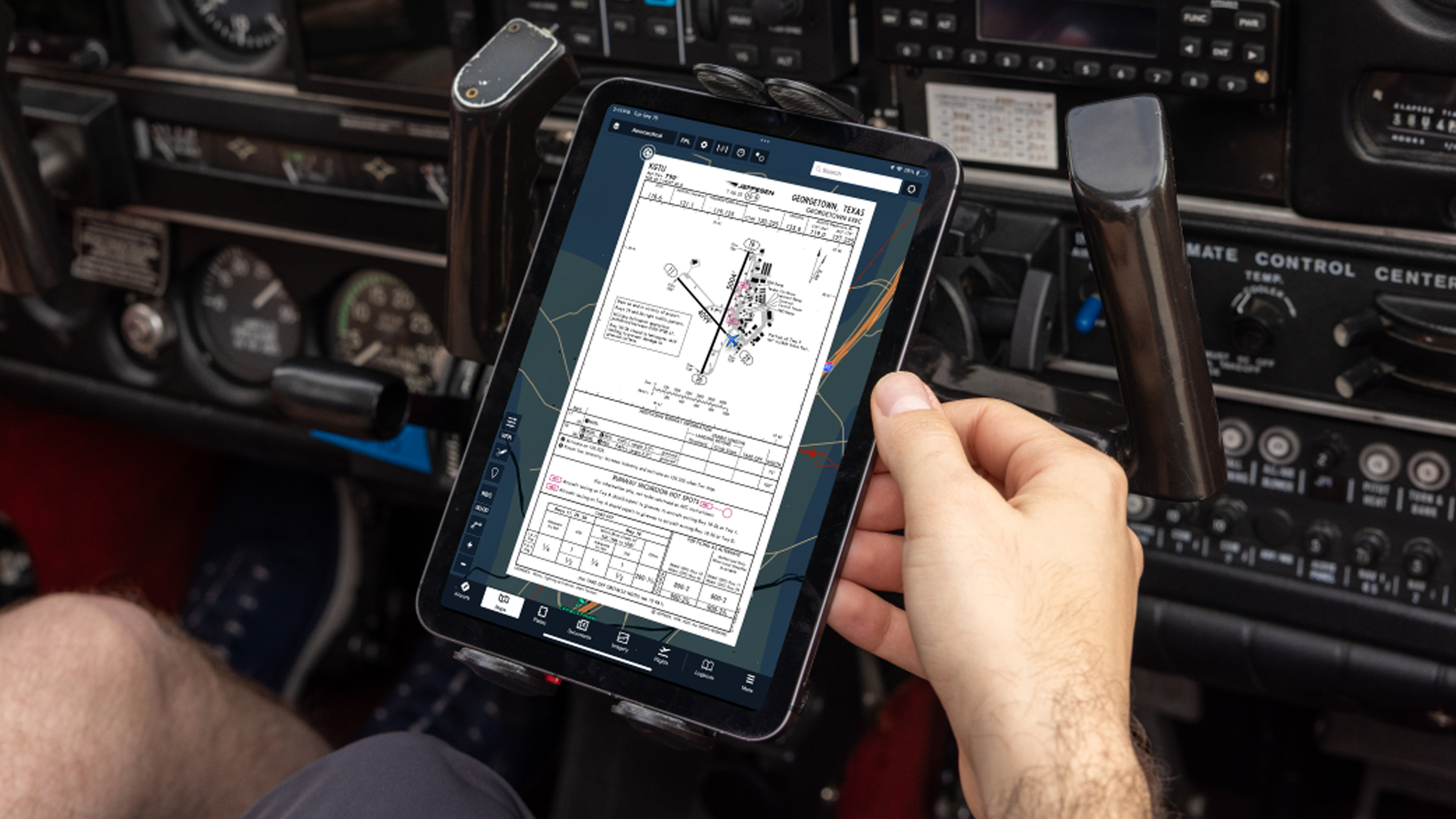
Georeferenced Plates & Taxi Charts

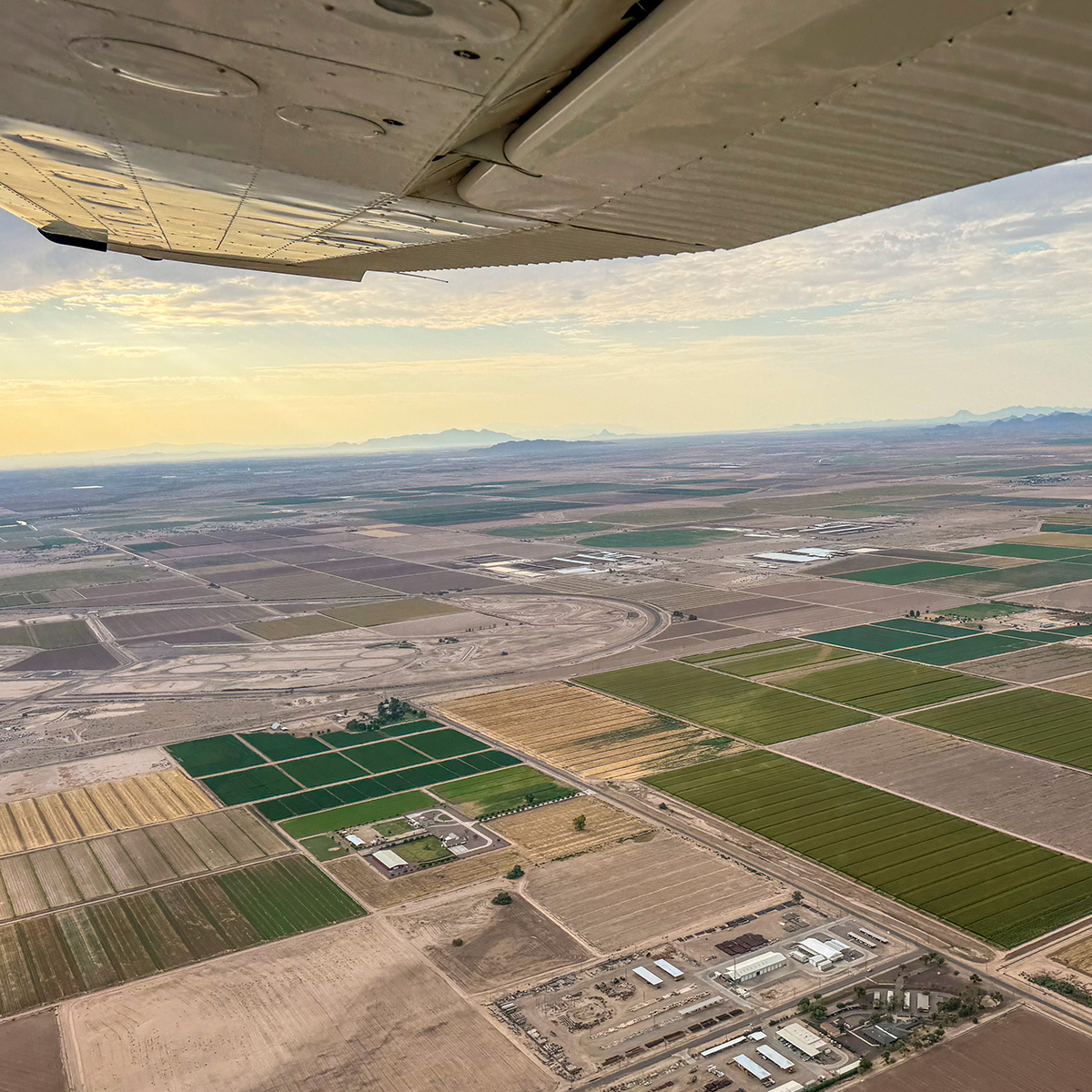
When you are flying into or taxiing through an unfamiliar airport, knowing exactly where you are makes a big difference. Georeferenced plates and taxi charts put your aircraft’s position directly on the chart so you can stay oriented.
- Real-time position on charts: See your aircraft’s position update in real-time on any georeferenced chart or airport diagram.
- Overlay charts on the Map: Instead of switching back and forth between views, you can keep approach plates and taxi diagrams visible right on the moving map.
- Detailed taxi information: Each chart includes identifiers, hot spots, frequencies, and nearby hangars, paired with your real-time position to prevent incursions and maintain safe airport navigation.
- Automatic taxi chart display: After landing, ForeFlight can display the airport’s taxi diagram on the map automatically. Visit More > Settings > Show Taxi on Map to toggle the Show Taxi on Map feature on and off.
Learn more here.
Dynamic Procedures

Launched last month, Dynamic Procedures changes the way you brief and fly instrument approaches. By presenting approach details in a cleaner, more intuitive way, it reduces clutter and keeps the essentials front and center.
- Interactive briefing strip: Step through each procedure segment with a context-aware sidebar.
- MSA on the map: View Minimum Safe Altitudes directly on your route with multi-altitude segments organized by radial.
- Airport preview: See the touchdown zone and approach lights from a simulated short final.
- Simplified minimums: Display minimums tailored to your aircraft category and equipment.
- Powered by Jeppesen NavData: Built on the same trusted dataset used in avionics worldwide.
Dynamic Procedures is currently available in the U.S., Canada, and the Pacific Islands with support for more regions coming soon.
Learn more here.
Try them free until November 3
For the next few weeks, you’ll be able to see how these features make briefing and airport navigation easier. Whether you're finding your way across the ramp or setting up for an approach, these features will give you a better sense of what is going on around you.
After November 3, your subscription will go back to your current Starter plan, but until then, you can explore these capabilities for free.
Love the upgrade?
Continue using these features with an Essential or Premium plan.