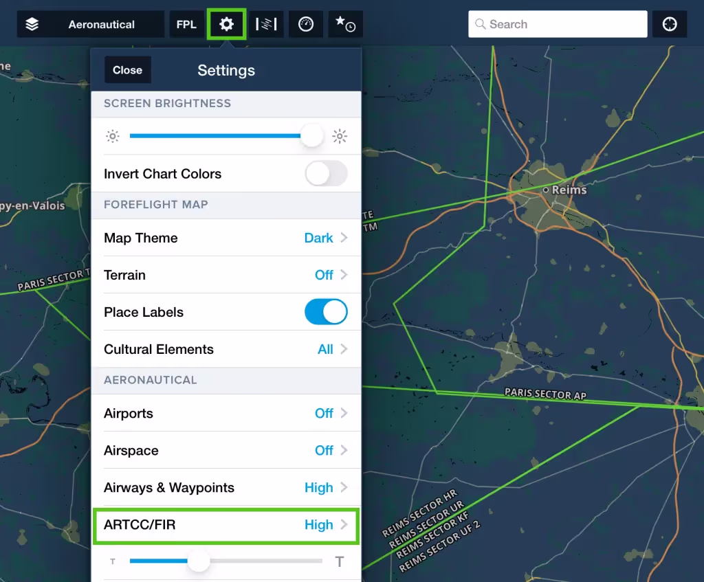

View ATC sector boundaries in green directly on the map as part of the Aeronautical Map’s ARTCC/FIR layer.
Start by selecting an ATC sector, then tap and hold on the map to view the information about each ACC/UAC and other airspace at that location. You can tap Details on the right for more information.
You can view ATC sector names by zooming in on the map.
A new toggle in MapSettings > ARTCC/FIR allows you to enable or disable ATC sector boundaries and ARTCC/FIR boundaries. You can also toggle between low and high ATC sector boundaries and ARTCC frequency “postage” stamps.