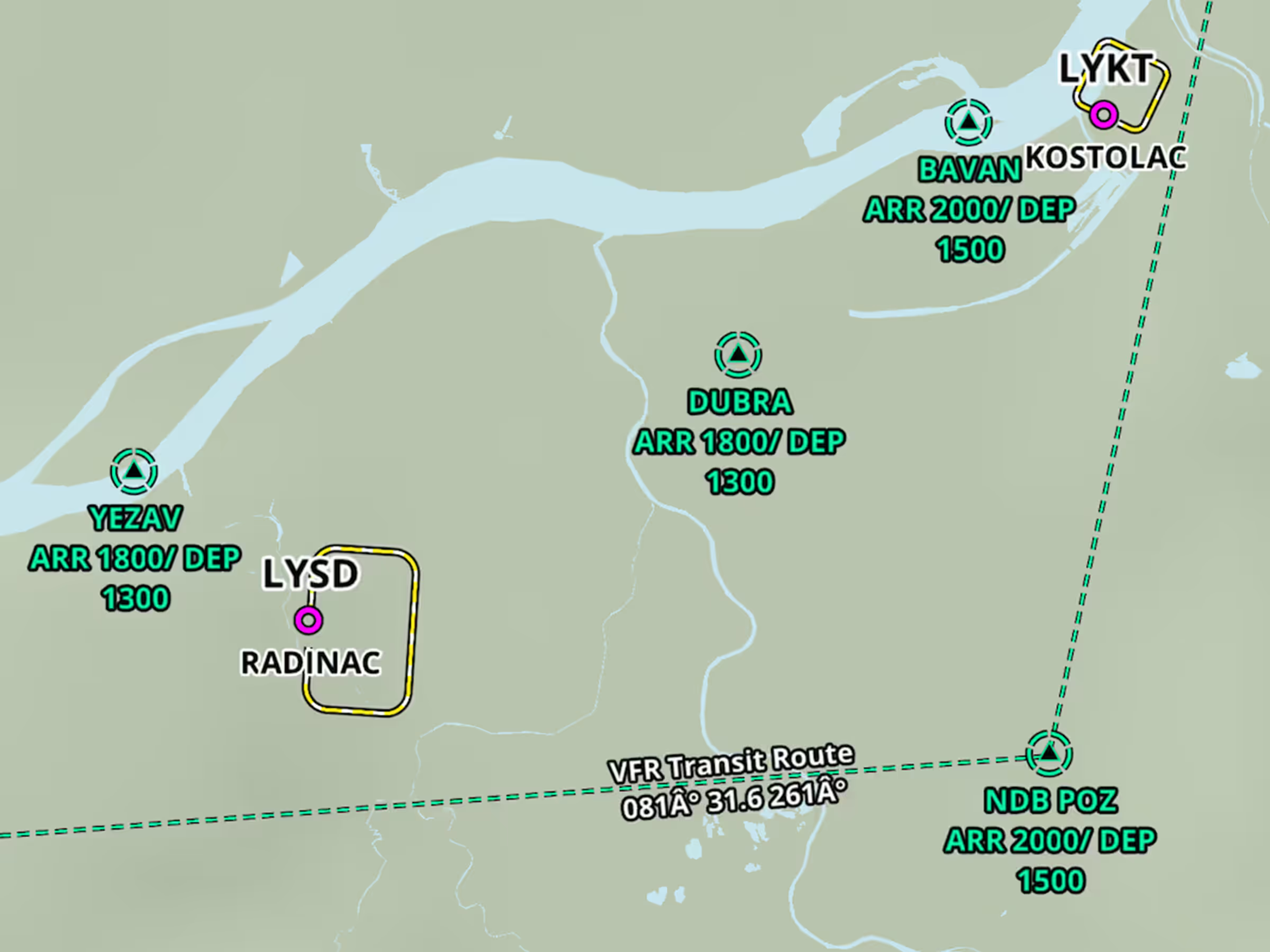
ForeFlight’s High Resolution Basemap includes Jeppesen-sourced terrain and cultural elements such as mountain passes, highway labels, and more for improved inflight reference.
The basemap is what you see with no other charts or maps other than the Aeronautical Map enabled, and depicts terrain, roads, urban lighting, and more. Download the High Resolution Basemap for any region in More > Downloads.
The HighResolution Basemap includes mountain pass icons for the United States and Europe which are oriented based on their direction and also indicate the pass name and elevation in feet.
The basemap in Europe depicts cables and gondolas as black line segments, with labels indicating each cable’s maximum above-ground altitude in feet. You can enable or disable mountain passes and cables using the switch in Map Settings >Terrain.
Labels for major roads and highways apply to US interstates, federal and state highways, and international motorways. These labels are tied to the setting for Major Roads and can be enabled or disabled in Map Settings > Cultural Elements.
Change the size of any of these icons along with other Aeronautical Map elements using the slider in Map Settings (cog on the Maps view), just below the Aeronautical Map options.


