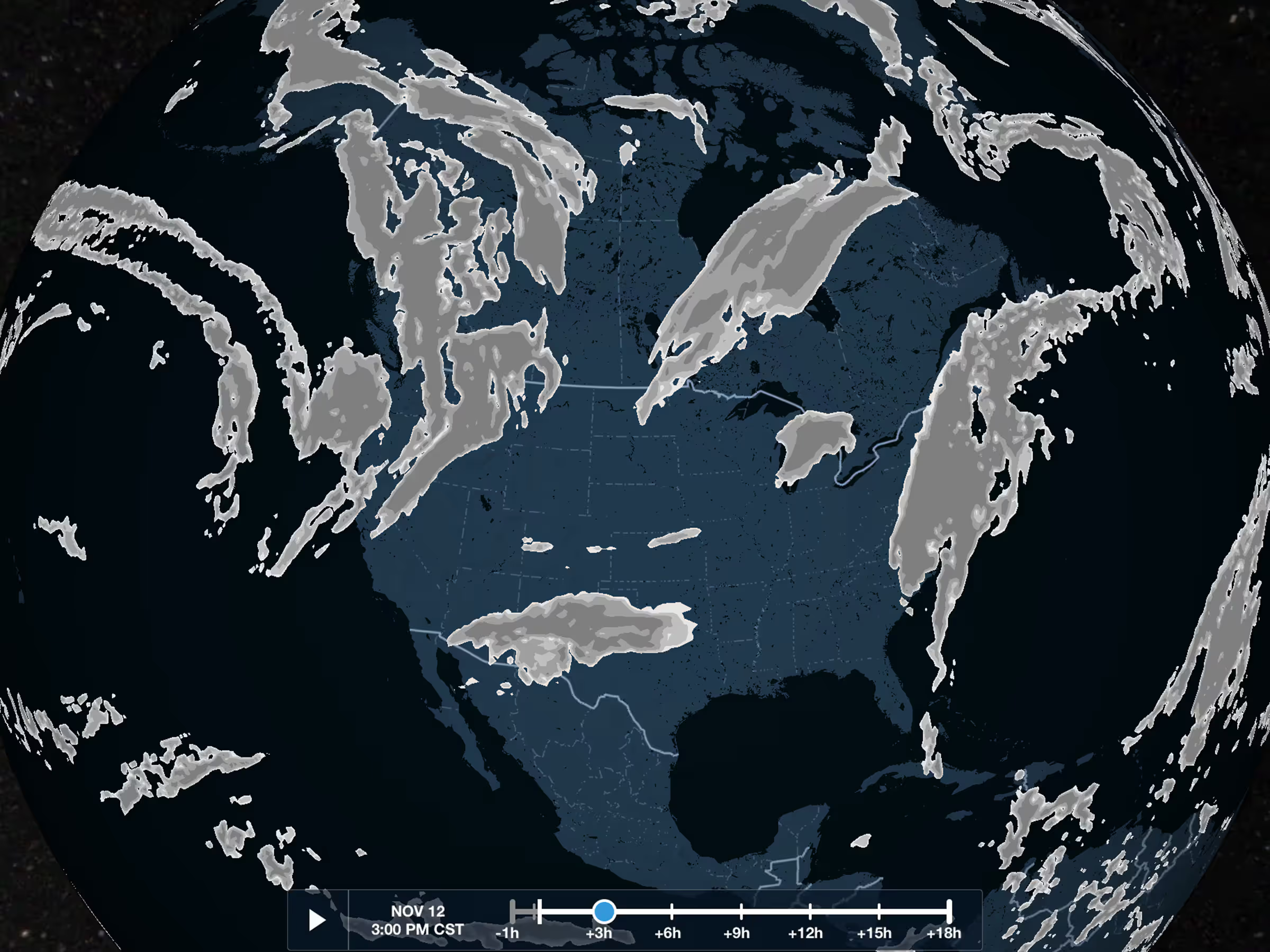
November 2020

New Street & Aerial Map Styles

No items found.
back
next
This is some text inside of a div block.

Both the Street Map and Aerial Map layers have improved styling to help you better identify features on the map. The Aerial Map has more prominent street and place labels, while the Street Map uses a new style that continues showing topographical information even at very high zoom levels. Both map layers require an internet connection to view.

Release notes

Release notes

  • Both the Street Map and Aerial Map layers have improved styling. 
  • The Aerial Map has more prominent street and place labels to help you identify features on the map. 
  • The Street Map uses a new style that continues showing topographical information even at very high zoom levels. 
  • Both map layers require an internet connection to view.

Support

Support

Month 2025

FAQs

FAQs

Find answers to your questions

Month 2025

Pilot's Guide

Pilot's Guide

The complete ForeFlight handbook

Month 2025

Video Library

Video Library

ForeFlight videos all in one place

Month 2025

Buying Guide

Buying Guide

Choose the right iPad and plan