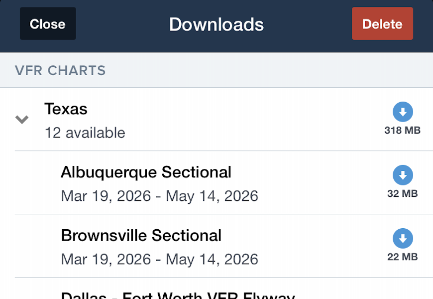
Download sizes for raster charts in ForeFlight have been significantly reduced as they transition from a less efficient PNG format to a newer AVIF image format. With up to 50% reduction in file size, charts will require less storage space while maintaining high image quality. Similar download size reductions have also been made to the Airport & Nav Database, enabling smaller, more frequent updates to aeronautical data with minimal impact on data usage.
MFB One
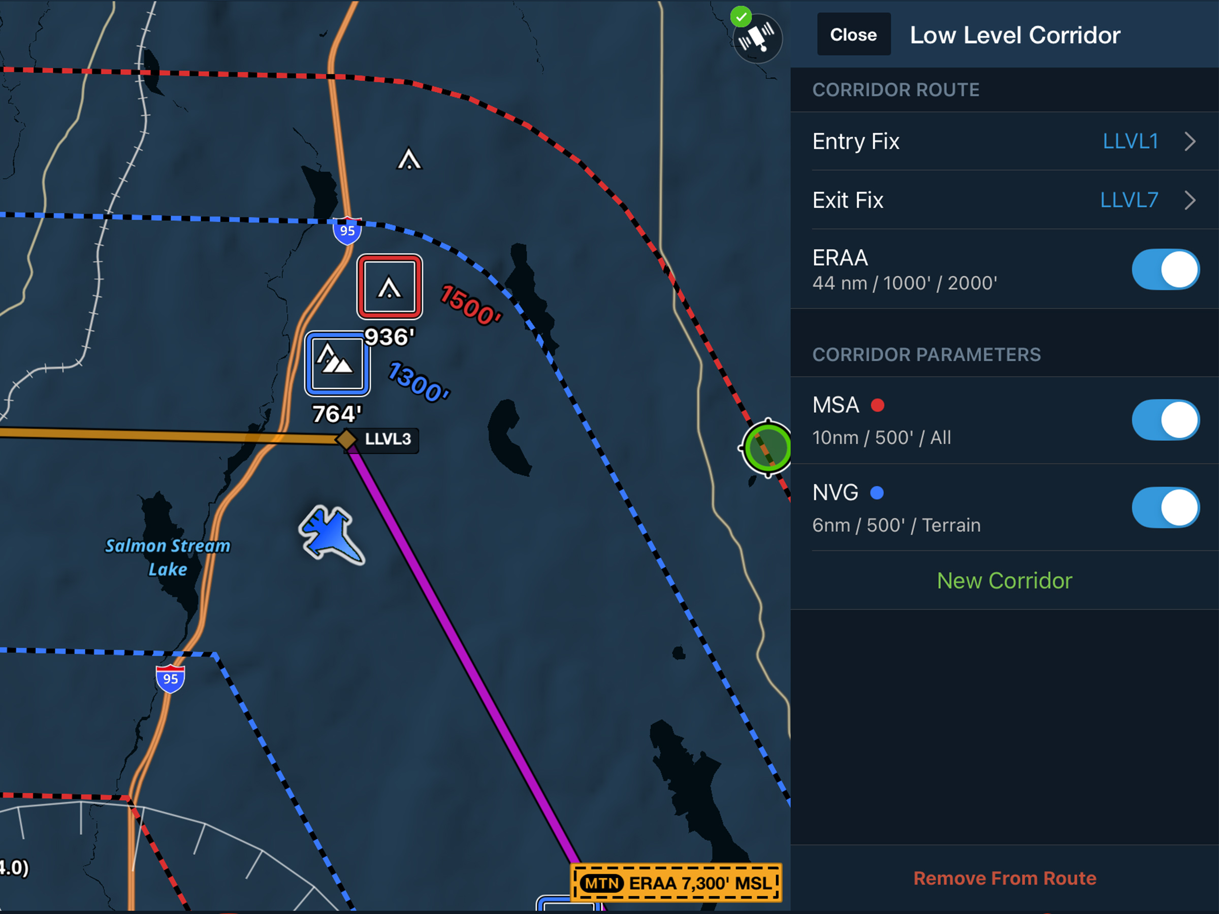
MFB: Low Level Corridors
Create tactical corridors to display per-leg hazards and clearance altitudes on the map.