
All Plans
Expanded Place Labels
Place Labels have expanded to include over 1.4 million labels for cities, parks, bodies of water, and more.
This release includes Flight Binders in Plates, expanded Place Labels, and more.
Place Labels have expanded to include over 1.4 million labels for cities, parks, bodies of water, and more.
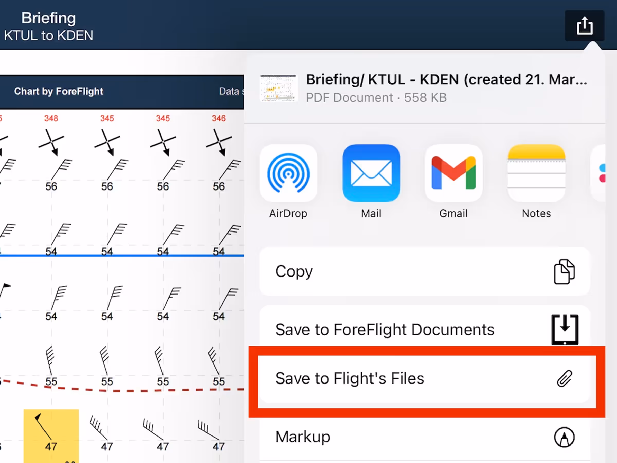
Save a flight’s Navlog, Briefing, or filing form to its Files menu for inflight access and record keeping.
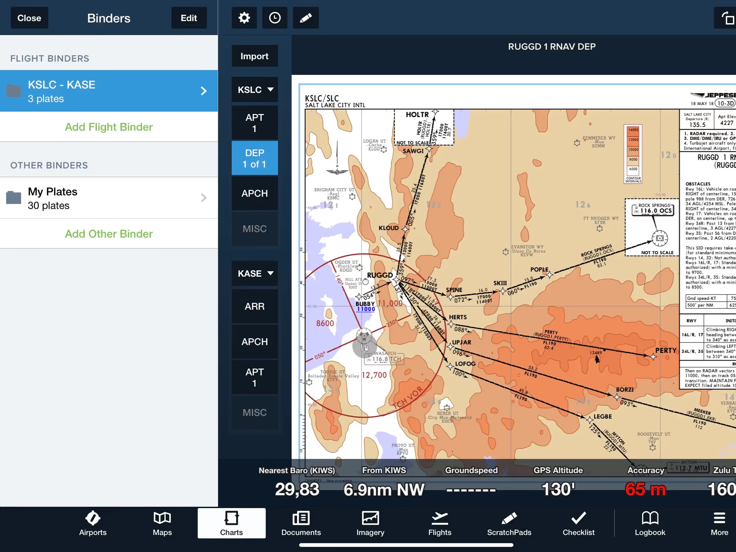
Flight Binders organize plates by category for seamless planning and inflight experience.
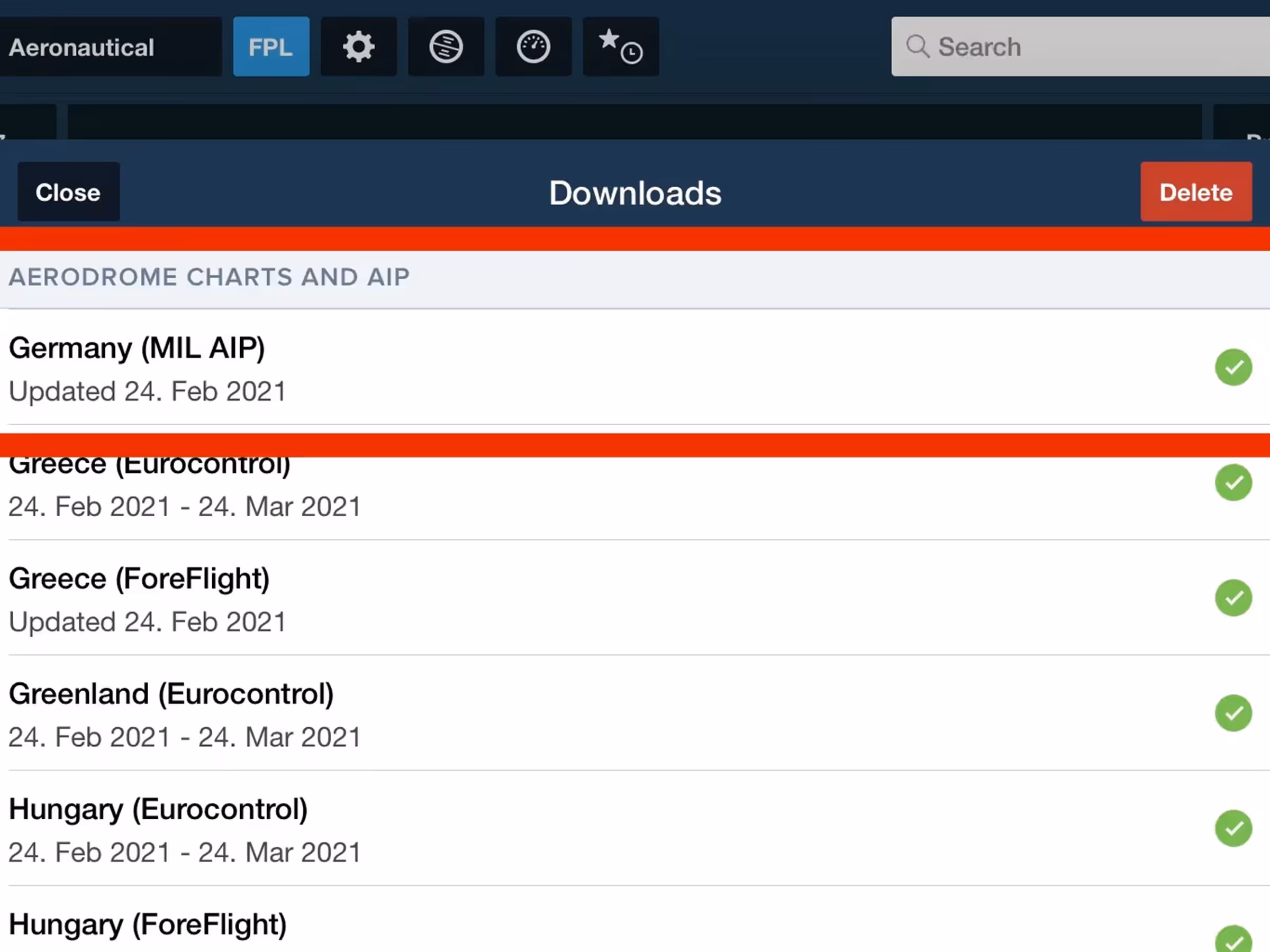
Download aerodrome charts and documents from Germany’s military AIP for expanded airport coverage.
Flight Binders in Plates
Expanded Place Labels
German Military AIP
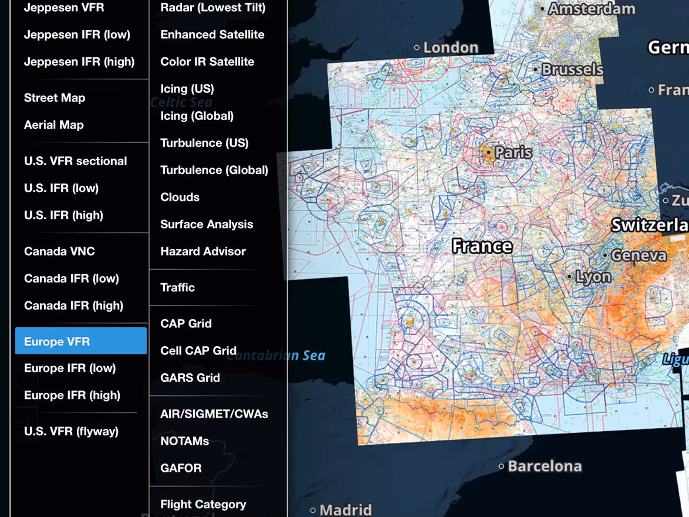
French SIA VFR Charts
Files in Flights Navlog & Briefing
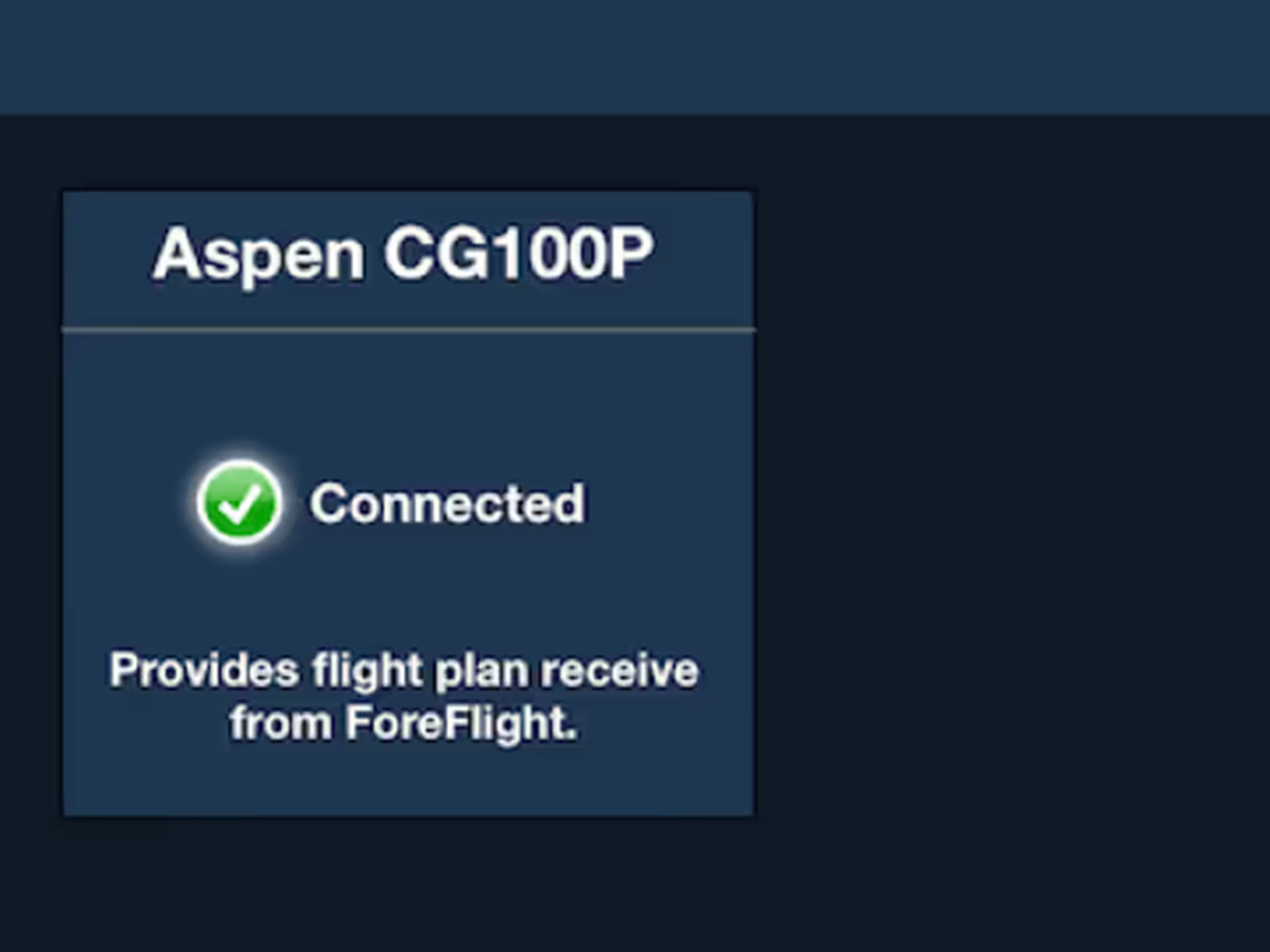
Honeywell Apex Connectivity