August 2019

Graphical NOTAMs

No items found.
back
next
This is some text inside of a div block.

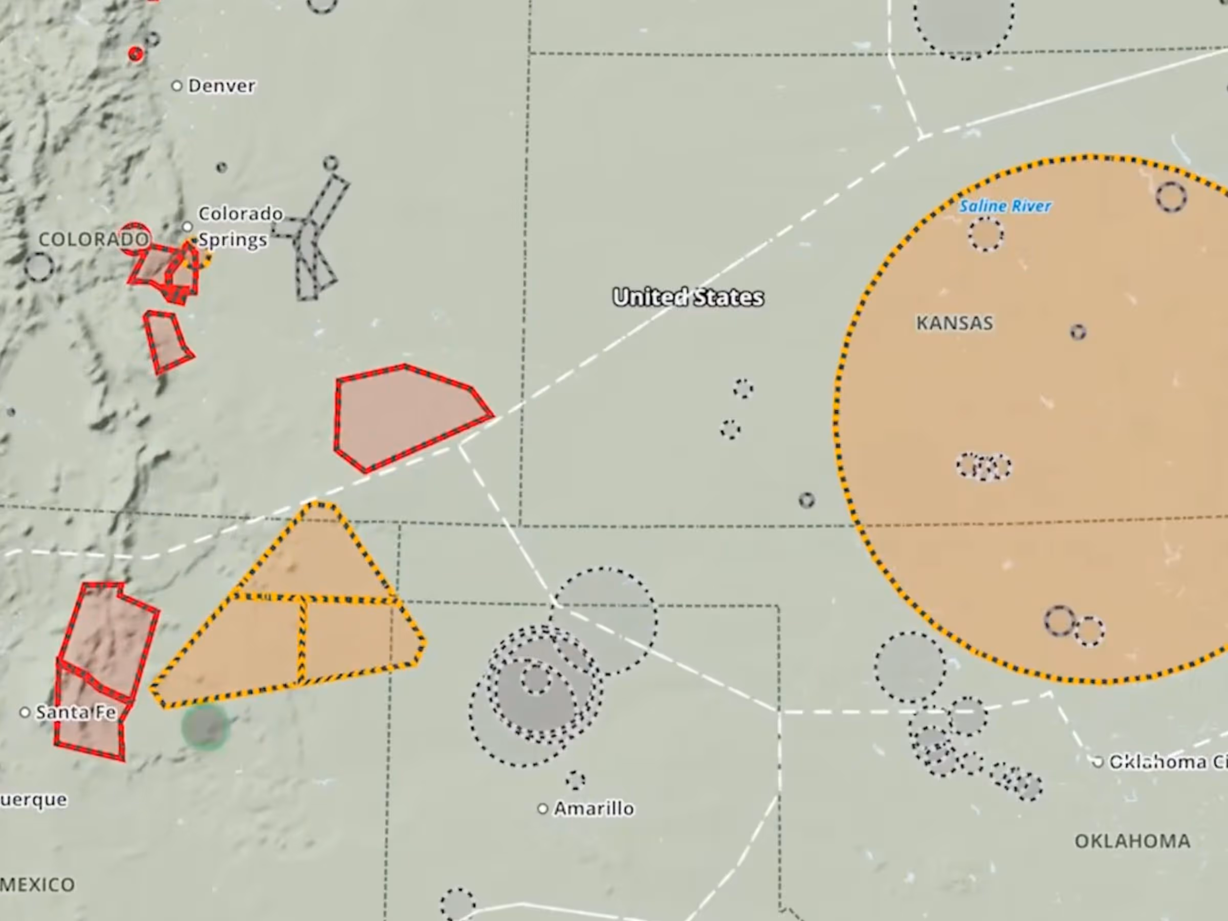
ForeFlight customers in Europe can now view graphical enroute NOTAMs as part of the NOTAMs/TFRs map layer. ForeFlight uses geographic data contained in NOTAM descriptions to draw their actual shapes whenever possible, and color-codes NOTAMs gray, orange, or red based on increasing severity and type. Tap on each NOTAM to view its description and active times.

Release notes

Release notes

Support

Support

Month 2025

FAQs

FAQs

Find answers to your questions

Month 2025

Pilot's Guide

Pilot's Guide

The complete ForeFlight handbook

Month 2025

Video Library

Video Library

ForeFlight videos all in one place

Month 2025

Buying Guide

Buying Guide

Choose the right iPad and plan