No items found.
Skip to main content
August 2019

U.S. VFR Flyway Charts

VFR Flyway Charts from the FAA are now available as a georeferenced map layer in ForeFlight.

No images available to display.
back
next

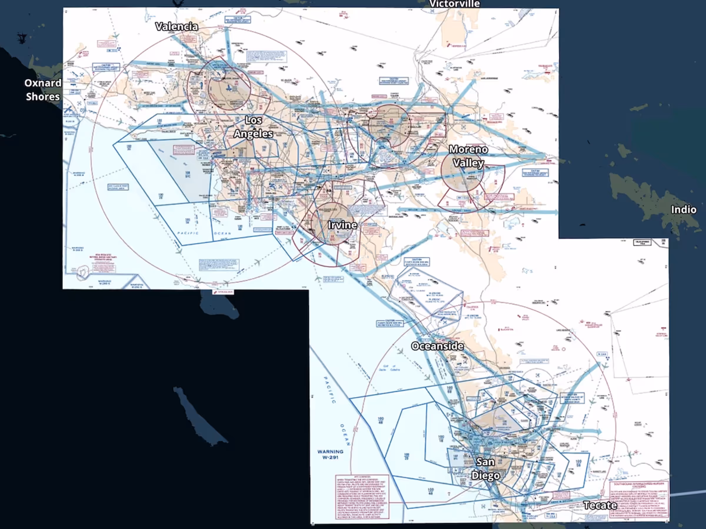
VFR Flyway Charts from the FAA are now available as a georeferenced map layer in ForeFlight. These planning charts depict potential VFR routes through and around major metropolitan areas to help VFR pilots avoid Class B airspace and commercial traffic flows. Access the charts at the bottom of the layer selector’s left column, and as a configurable download switch in More > Downloads > Download Settings > United States.

Release notes

Release notes

  • Download and view VFR flyway charts directly on ForeFlight’s map using the new VFR Flyway map layer.
  • Previously only available in the Documents view, these planning charts depict potential VFR routes through and around major metropolitan areas to help VFR pilots avoid Class B airspace and commercial traffic flows.
  • The charts appear as a new option at the bottom of the left-hand column in the layer selector, and as a configurable download switch in More > Downloads > Download Settings > United States.

Support

Support

FAQs
Find answers to your questions
Pilot's Guide
The complete ForeFlight handbook
Video Library
ForeFlight videos all in one place
Buying Guide
Choose the right iPad and plan