
Essential & Above
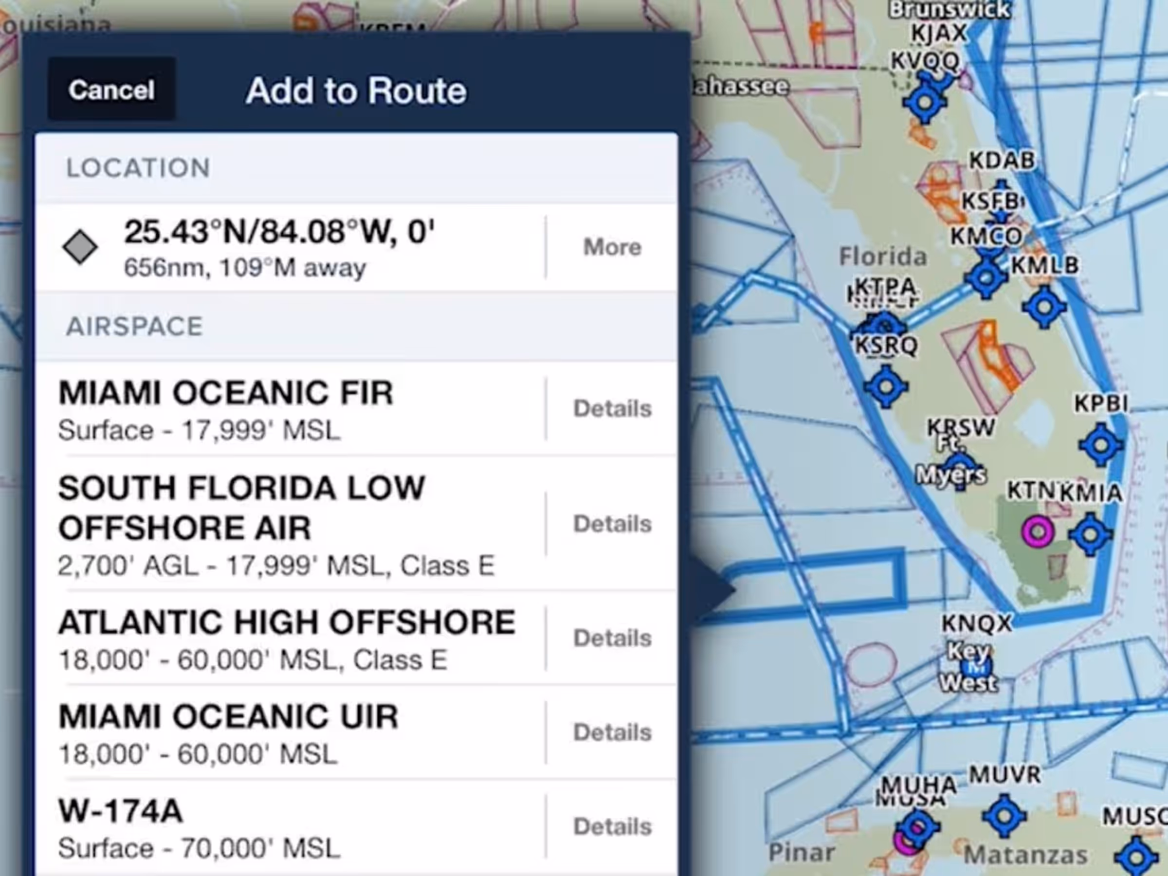
Airspace in Profile View
See a side view of controlled, MOA, SUA, and TFR airspaces along your planned route.
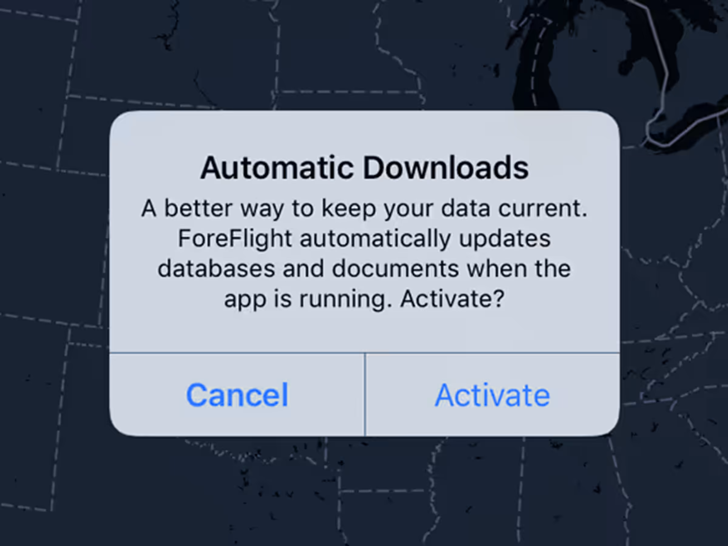
Powerful Expanded Search, Automatic Chart & Data Downloads, Airspace in Profile View, Automatic Airspace Highlighting, and More.
See a side view of controlled, MOA, SUA, and TFR airspaces along your planned route.
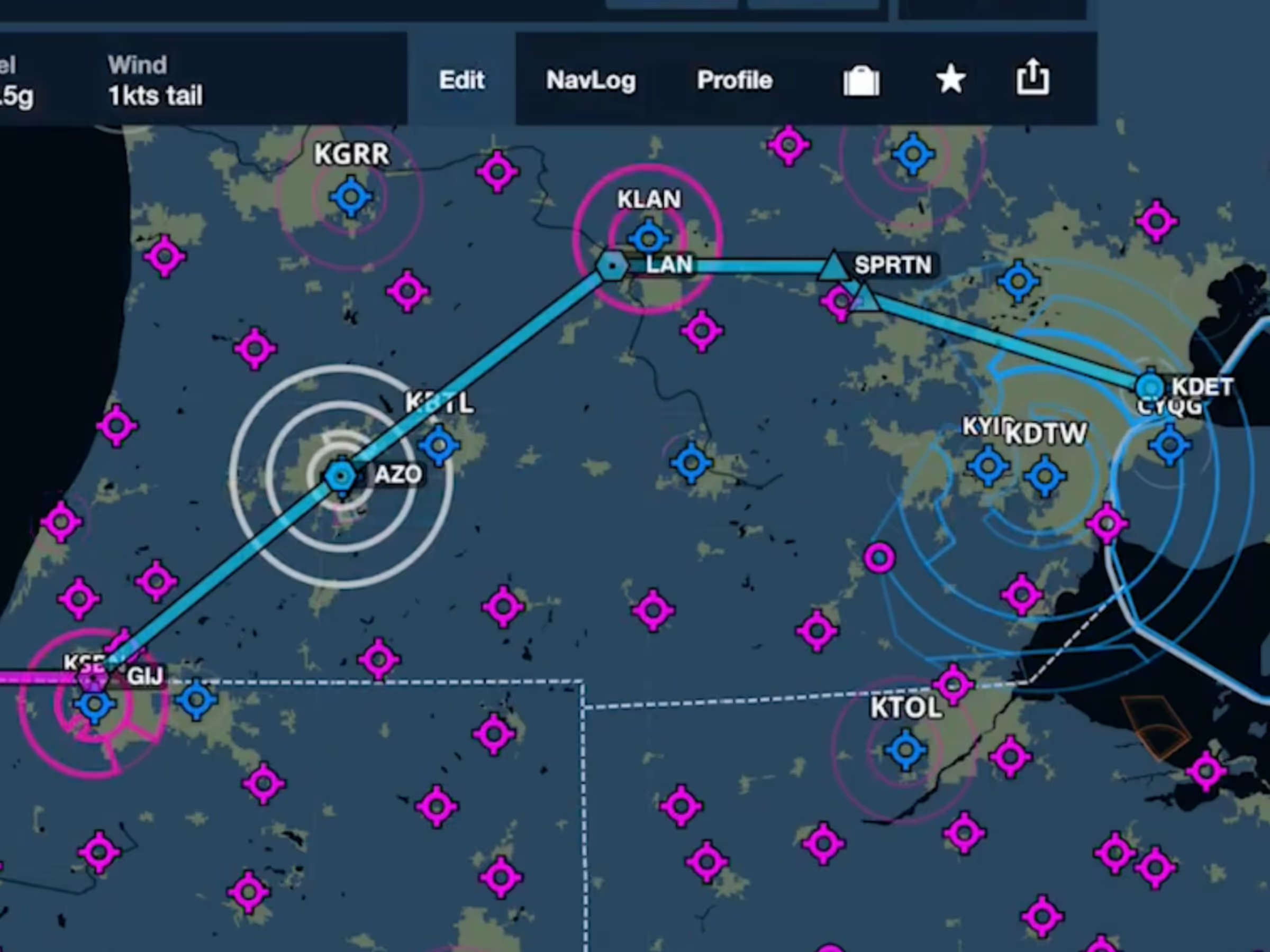
ForeFlight’s Aeronautical Maps now highlight airspace along your route while dimming other airspace.
Eliminate the little red notification on the More tab without having to tap anything.
Third-party devices can transmit live inflight data to ForeFlight Mobile using the GDL 90 Extension.
ForeFlight’s Maps view now features Jeppesen-sourced global airspace information.
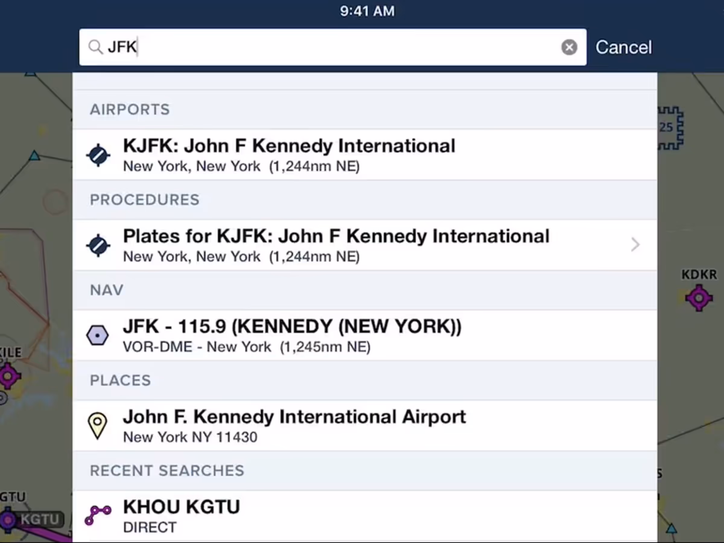
The Airports, Maps, and Plates views now share a unified search capability.