Quick Tips
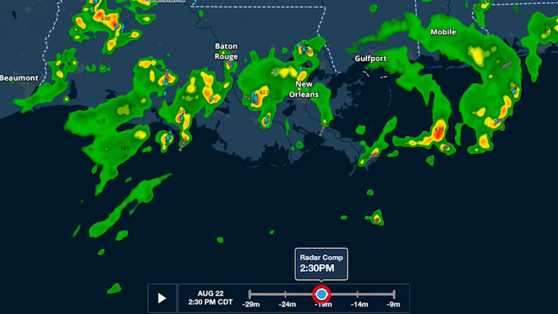
Weather Layer Time Slider
ForeFlight's weather layers use an interactive time slider tool that provides more control when viewing and animating weather timestamps.
Get the full weather picture, from up-to-the-minute radar and satellite to global forecast layers.
ForeFlight's weather layers use an interactive time slider tool that provides more control when viewing and animating weather timestamps.
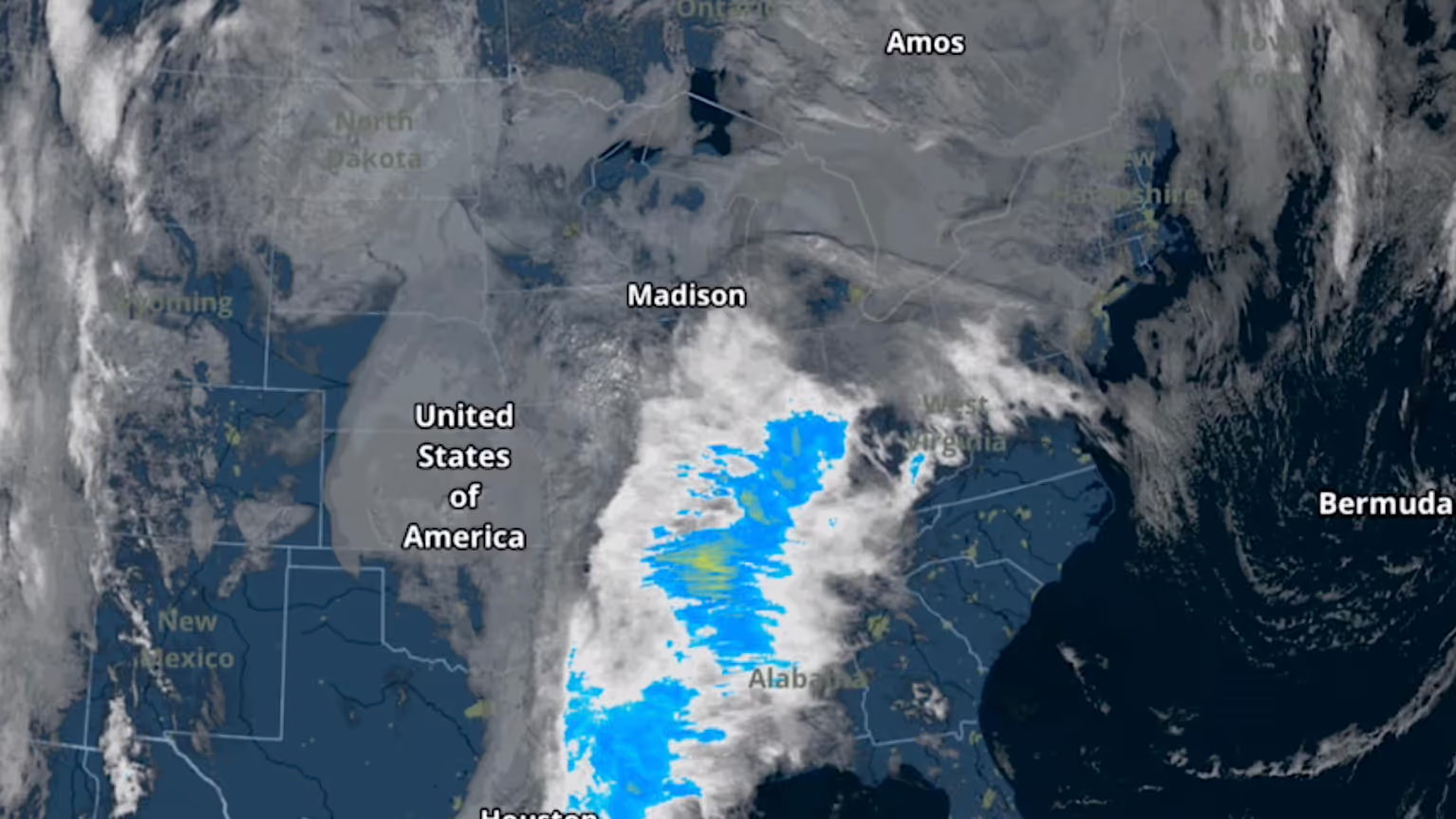
The Color infrared Satellite layer is an alternative to the original satellite layer (now called Enhanced Satellite) that extends ForeFlight's weather planning capabilities.
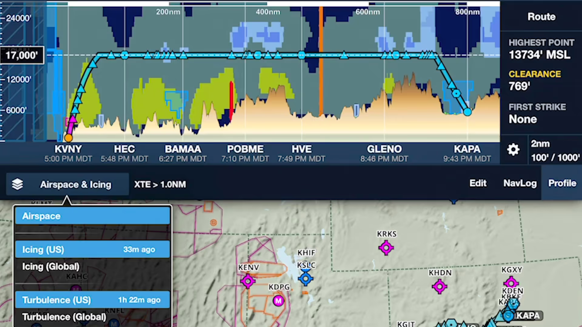
ForeFlight's Profile View includes selectable Icing and Turbulence forecast layers, providing a cross-section of weather in addition to terrain, obstacles, and airspace along your route.
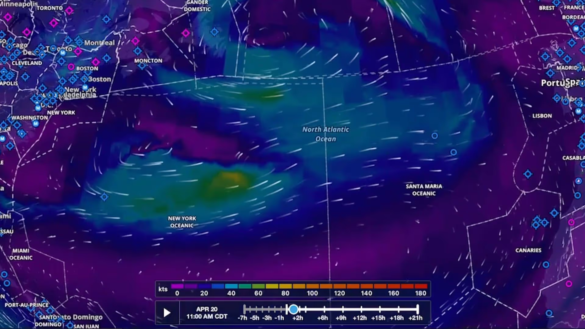
Plan flights with global forecast wind speed, direction and temperatures at multiple altitudes and times using two animated weather layers. Both layers are available with ForeFlight Performance plans.
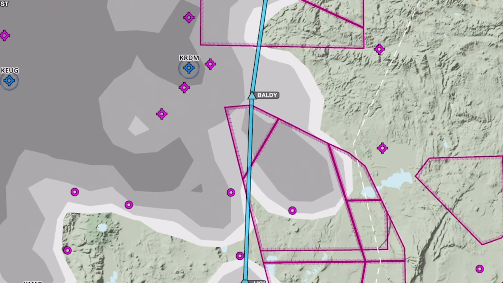
Plan to steer clear of clouds at any altitude with the Clouds forecast weather layer, available as a map layer for Pro Plus subscription plans and above.
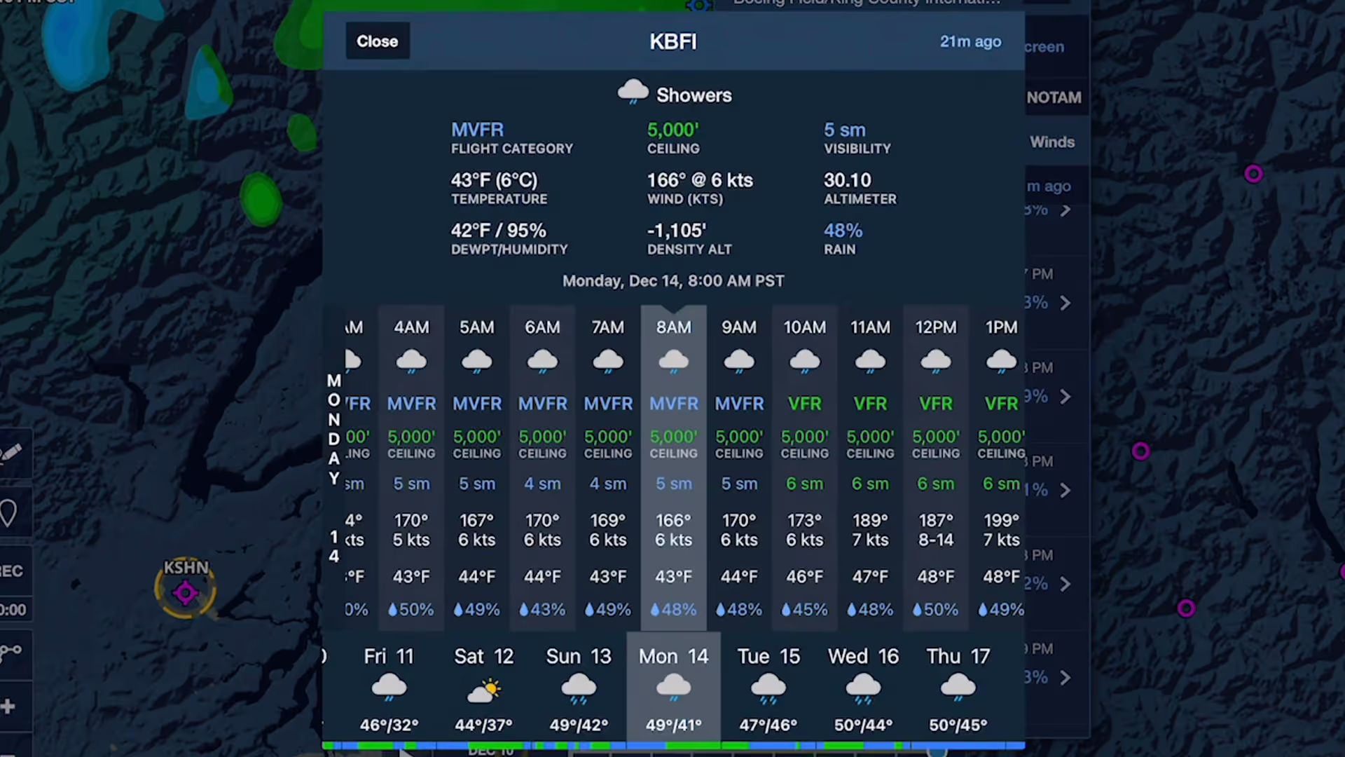
Stay on top of weather today or next week with Daily and Hourly Forecasts - an all-purpose, 10-day, hour-by-hour forecast for any location on Earth.
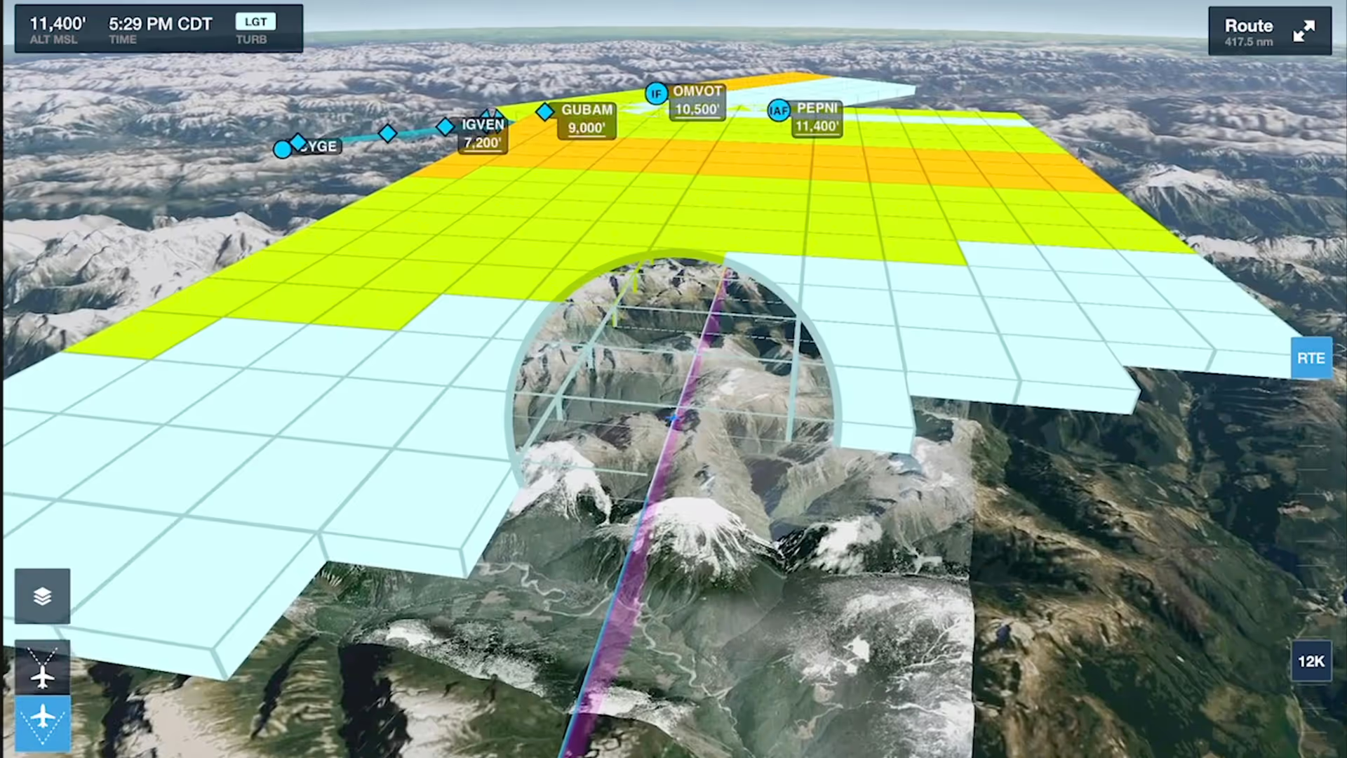
Enhance your preflight weather planning with interactive Icing and Turbulence forecast layers in 3D Preview, available with ForeFlight’s Performance Plus and Business Performance subscription plans.